La Clusaz snow report
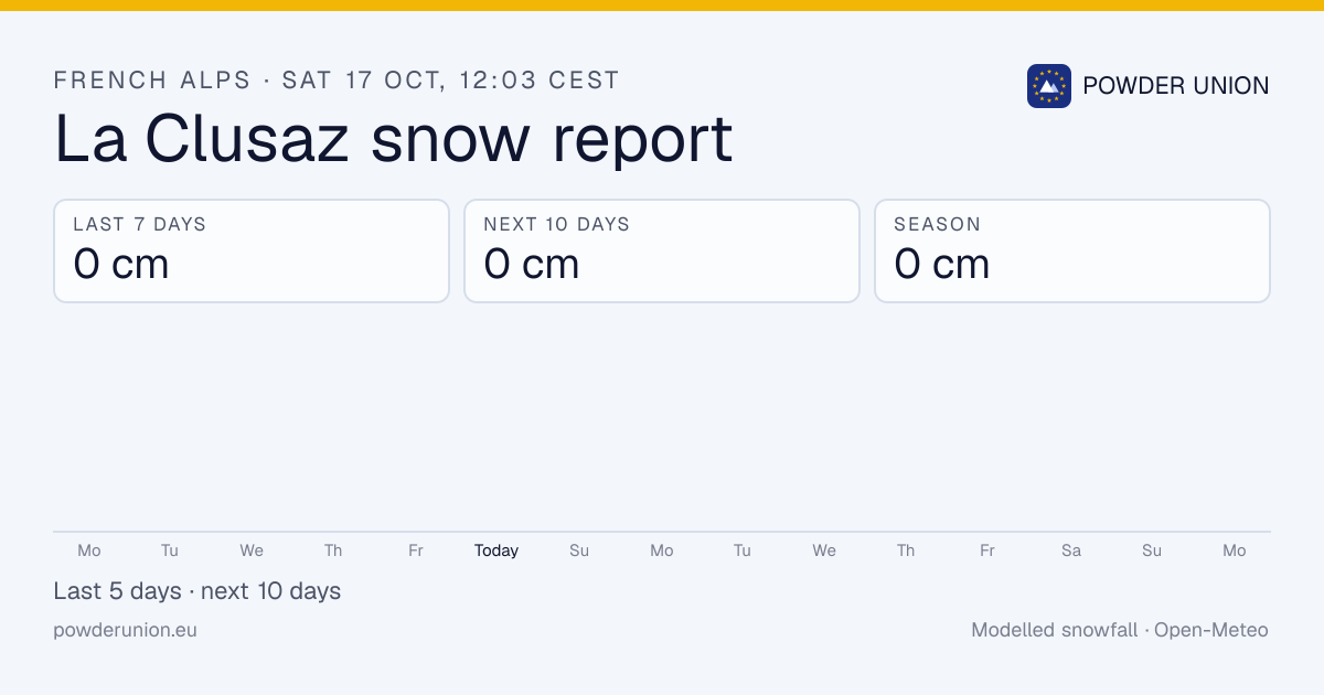
La Clusaz has picked up 0 cm in the last 7 days and 0 cm this season. No significant snow in the 10-day forecast.
Data: Open-Meteo (modelled) at the upper mountain, ~2,476 m · forecast every 6 h, season totals daily · Updated Sat 17 Oct, 12:03 CEST
La Clusaz snowfall: last 24 hours, last 7 days, season
When to go: La Clusaz this week
Dry for the next 10 days.
Daily snowfall, midnight to midnight local time (Europe/Paris). Past days are model analyses; days 6–10 are drawn lighter because forecasts that far out change a lot.
How does this season compare?
La Clusaz ranks #67 of 95 French Alps resorts by season total (0 cm). No significant snowfall in the last 10 days.
A typical season brings about 474 cm to the upper mountain (2017–18 to 2025–26, modelled). Season-by-season snow history
10-day snowfall history
| Date | Snowfall | High / low |
|---|---|---|
| Today (so far) | 0 cm | 5° / 1° |
| Fri 16 Oct | 0 cm | 11° / 5° |
| Thu 15 Oct | 0 cm | 11° / 6° |
| Wed 14 Oct | 0 cm | 10° / 4° |
| Tue 13 Oct | 0 cm | 8° / 2° |
| Mon 12 Oct | 0 cm | 7° / 0° |
| Sun 11 Oct | 0 cm | 2° / −1° |
| Sat 10 Oct | 0 cm | 3° / 0° |
| Fri 9 Oct | 0 cm | 2° / −2° |
| Thu 8 Oct | 0 cm | 4° / −2° |
La Clusaz snow forecast: next 7 days
| Day | Weather | Snow | High / low |
|---|---|---|---|
| Today | 0 cm | 5° / 1° | |
| Sun 18 Oct | 0 cm | 3° / 1° | |
| Mon 19 Oct | 0 cm | 10° / 1° | |
| Tue 20 Oct | 0 cm | 6° / 1° | |
| Wed 21 Oct | 0 cm | 1° / −2° | |
| Thu 22 Oct | 0 cm | −2° / −6° | |
| Fri 23 Oct | 0 cm | 3° / −7° | |
| Total | 0 cm |
Modelled by Open-Meteo at the upper mountain; 10-day total 0 cm.
Resort facts
- Elevation
- 1,030 m – 2,476 m
- Pistes
- 96 km
- Lifts
- 51
- Location
- Haute-Savoie, France
Where does this data come from?
Recent and forecast snowfall at La Clusaz is modelled by Open-Meteo from the best available national weather models and ECMWF, at the resort's grid point and downscaled to the upper mountain (2,476 m).
Season-to-date totals are rebuilt daily from the ECMWF IFS archive and compared with the same model's 9 seasons from 2017–18 to 2025–26, so "% of normal" compares like with like.
Models smooth out terrain, so treat the numbers as a guide and cross-check the resort's own report. Never use them for avalanche decisions: read the Météo-France montagne (BERA).
Nearby resorts
French Alps snow report · All France resorts · Shareable snow image
Common questions
How much snow has La Clusaz had this season?
0 cm since 1 October. Updated Sat 17 Oct, 12:03 CEST.
How much snow fell at La Clusaz in the last 7 days?
0 cm in the past week; 0 cm in the last 24 hours.
Is snow forecast at La Clusaz?
No significant snowfall in the next 10 days.
Where does the La Clusaz snow data come from?
Snowfall is modelled by Open-Meteo at 2,476 m from national weather models and ECMWF.
Which ski areas are near La Clusaz?
Nearby: Le Grand-Bornand, Les Portes du Mont-Blanc, Espace Diamant, Megève.